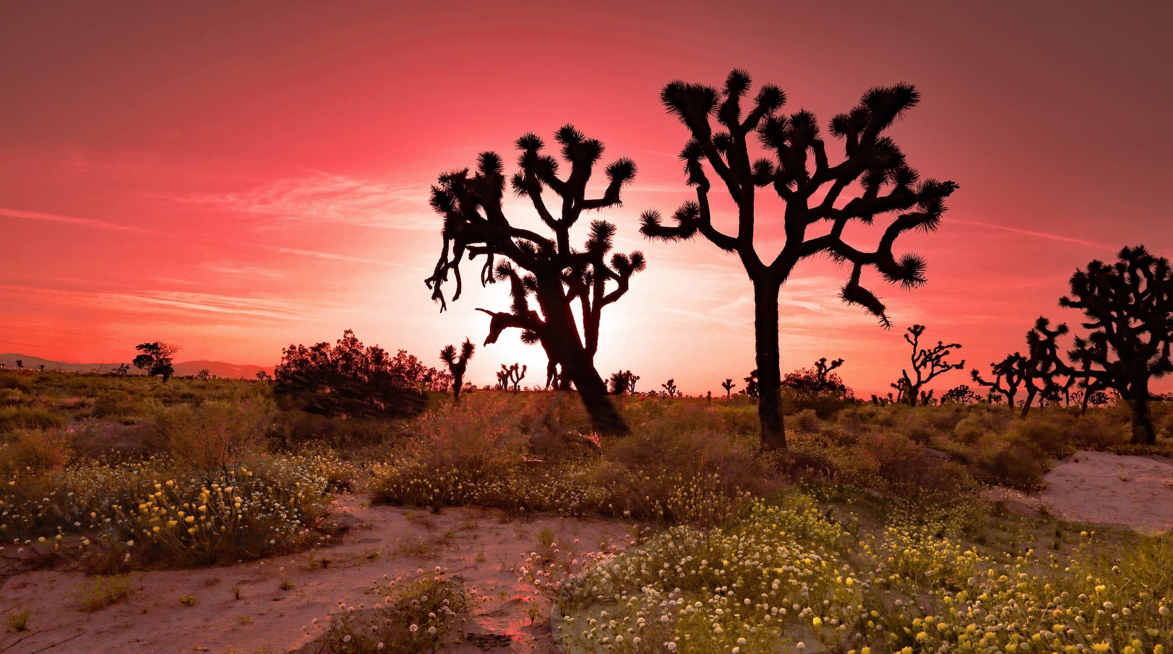
Leona Valley is a rural, unincorporated community in northern Los Angeles County, about 10 miles west of central Palmdale and roughly 70 miles north of Downtown Los Angeles. Home to 1,555 people at the 2020 Census, it fills a long, narrow valley formed along strands of the San Andreas Fault, and it is known for its cherry orchards and its own federally recognized wine-grape growing area, the Leona Valley AVA.
The Leona Valley market / right now
- Homes for sale
- 10
- Median list price
- $775K
- Median sale price, 90 days
- $607K
- Median days on market
- 26
From MLS data as of Nov 16, 2026; 5 closed sales in the last 90 days. Numbers update every 15 minutes.
What would a home here cost each month? Try the mortgage calculator
Living in Leona Valley
Leona Valley is an unincorporated community west of Palmdale, so there is no city government: Los Angeles County handles land use, roads and other local services. The 2020 Census counted 1,555 residents across about 18.6 square miles of land, roughly 84 people per square mile, so the valley remains open country, with orchards and undeveloped hillsides between homes.
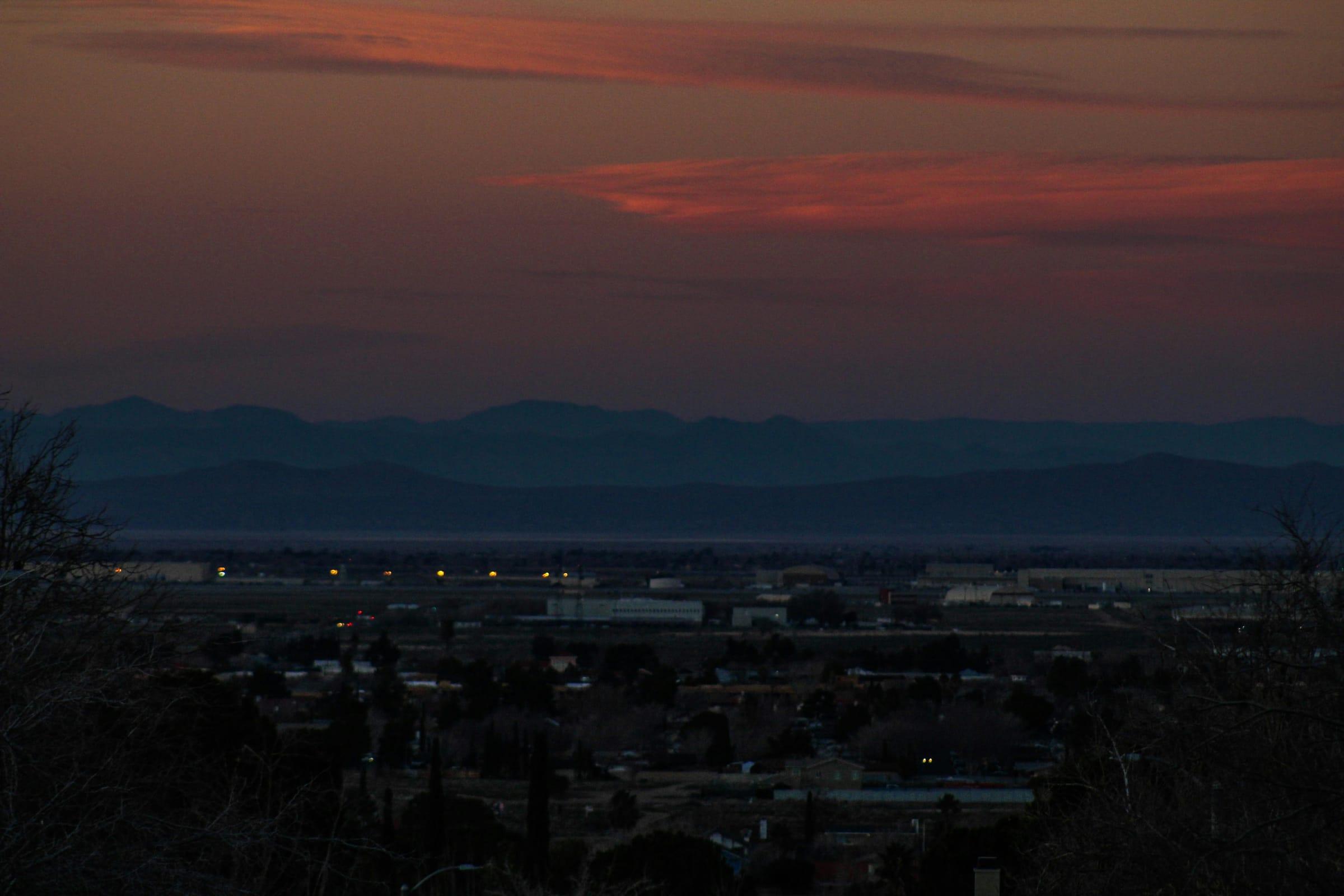
The valley runs northwest to southeast between the Portal Hills on the northeast and the foothills of the Sierra Pelona on the southwest. It was formed by overlapping strands of the San Andreas Fault, and federal records put the valley's elevations between about 2,900 and 3,800 feet, several hundred feet higher than central Palmdale. Angeles National Forest land lies beyond the surrounding ridges.
Agriculture gives the valley its character. Family orchards grow cherries, and in 2008 the federal government recognized the 13.4-square-mile Leona Valley American Viticultural Area, a designation that allows wines made mostly from the valley's grapes to carry its name on the label.
Homes, land and zoning
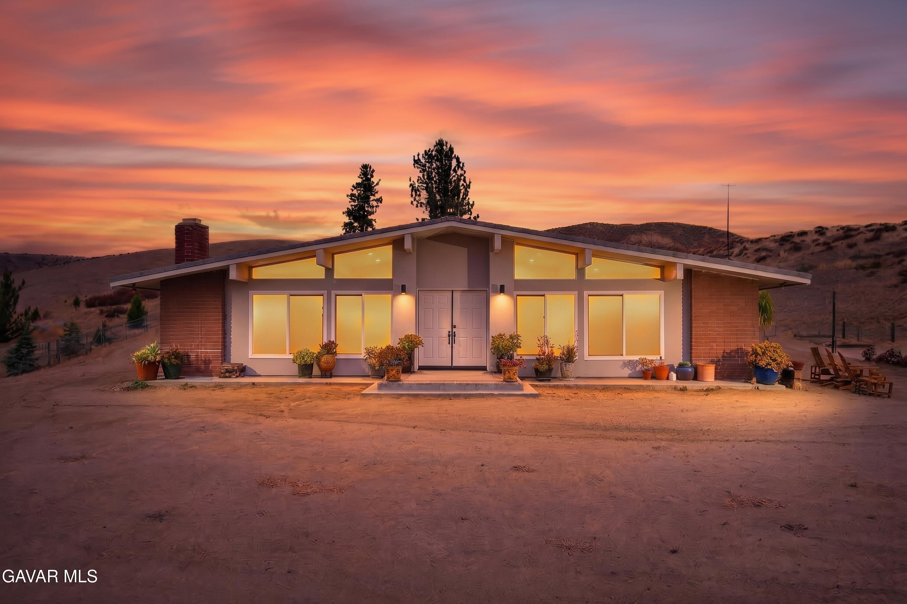
Housing is almost entirely detached single-family homes spread across rural parcels. Census estimates suggest most were built between the 1950s and 1980s, with some newer homes mixed in. Instead of subdivisions with shared amenities, expect individual properties along Elizabeth Lake Road, Bouquet Canyon Road and the side roads that climb the valley walls.
Land use follows Los Angeles County's Antelope Valley Area Plan, and a Leona Valley Community Standards District took effect on September 10, 2021, setting local zoning rules for the area. Before buying, confirm how the property gets water and handles wastewater, what the zoning allows for animal keeping or accessory buildings, and the parcel's fire hazard and earthquake fault zone disclosures.
Leona Valley shares ZIP code 93551 with parts of west Palmdale, and some local addresses use Palmdale as the mailing city. A Palmdale mailing address in 93551 can therefore be either inside the City of Palmdale or in unincorporated Leona Valley, so check the parcel's jurisdiction.
Things to do
Late spring is cherry season. Several orchards in the valley open for u-pick cherries, usually from late May into June, depending on how the crop ripens that year. Opening dates, hours and pricing change each season, so check with each farm before driving out.
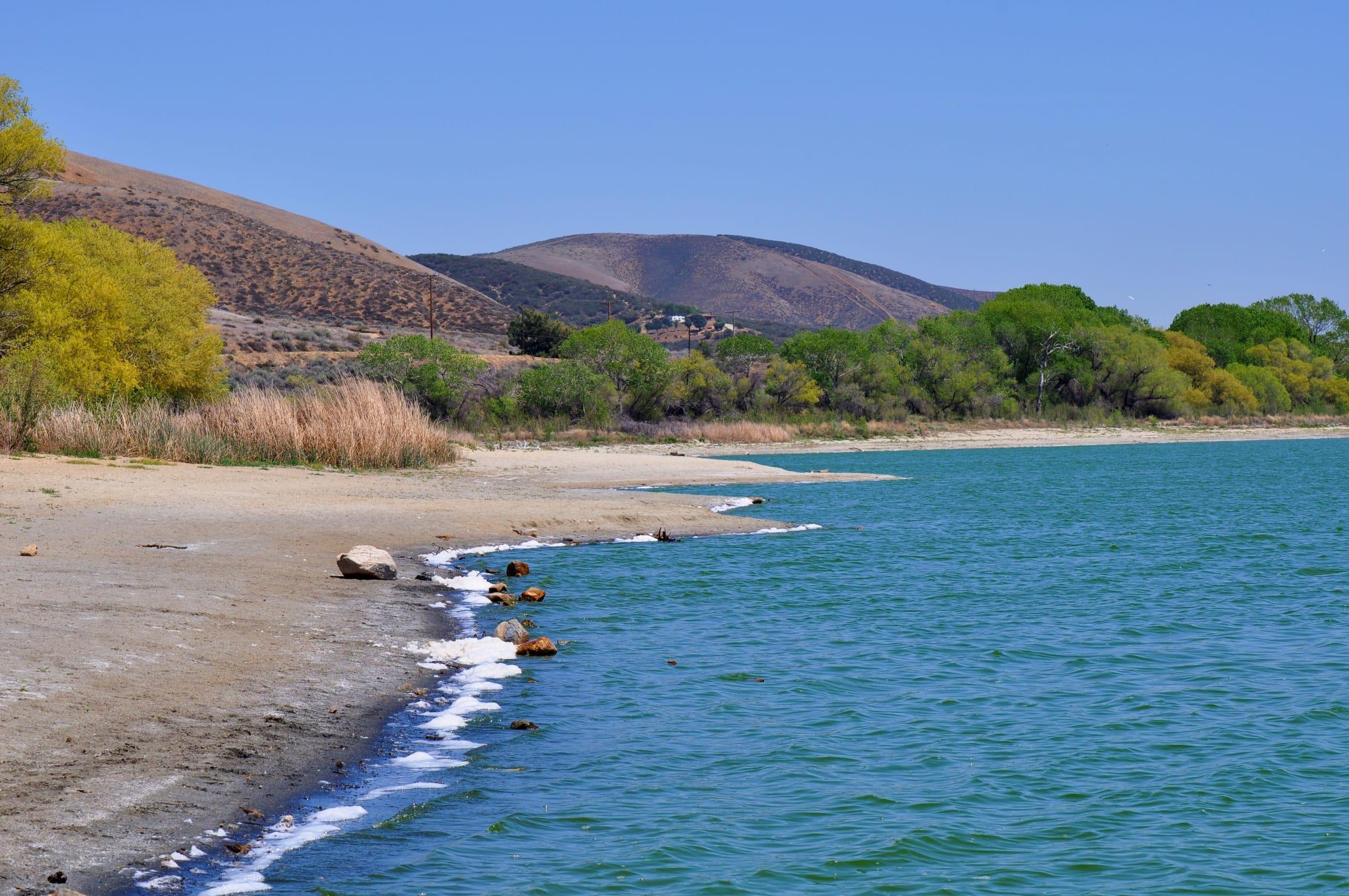
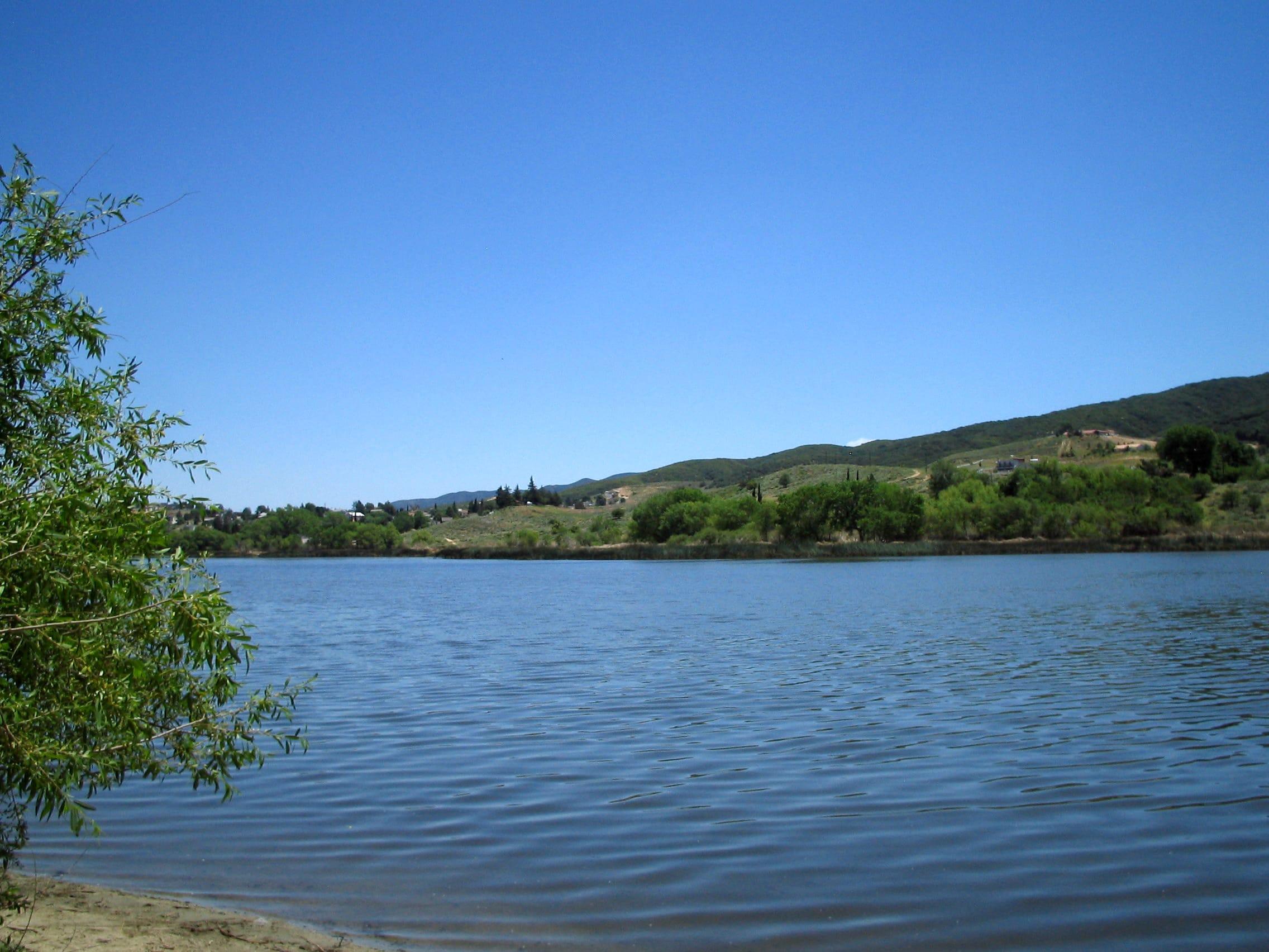
The fault shapes the scenery: the valley's long, parallel ridges follow the San Andreas Fault, and geologists point to offset stream channels in the valley as evidence of its movement. About 9 miles west along Elizabeth Lake Road, the Elizabeth Lake Day-Use Area in Angeles National Forest sits on a fault-formed sag pond, with picnic tables, non-motorized boating and fishing when the lake holds water.
Bouquet Canyon Road climbs south from the valley past Bouquet Reservoir and winds through canyon country to Santa Clarita, making for a scenic drive. For shopping, dining and entertainment, central Palmdale is about 10 miles east.
Getting around
Elizabeth Lake Road (County Route N2) is the valley's main route. Heading east it becomes Palmdale Boulevard and connects to the Antelope Valley Freeway (SR-14). Central Palmdale is about 10 miles away, typically 15 to 20 minutes, and Downtown Los Angeles is about 71 miles by road, typically 75 to 95 minutes off-peak.
To reach Santa Clarita, drivers can take Bouquet Canyon Road south, about 26 miles, or go east to SR-14. Bouquet Canyon Road is a narrow, winding two-lane road in its canyon section, so check current conditions and any roadwork detours before relying on it for a daily commute.
The nearest Metrolink station is in Palmdale, about 11 miles east, where Antelope Valley Line trains run to Santa Clarita and L.A. Union Station. Plan on driving for errands, school and work; the valley has no rail service of its own.
Places people love
U-pick cherry orchards
Several family orchards in Leona Valley open for cherry picking in late spring, typically late May into June. Dates depend on each year's crop, so check with the farm first.
Leona Valley AVA
A 13.4-square-mile American Viticultural Area recognized by the federal government in 2008. Its fault-formed valley and elevations of roughly 2,900 to 3,800 feet set it apart from the surrounding high desert.
San Andreas Fault landscape
The valley itself was formed by overlapping strands of the San Andreas Fault, and the 1857 Fort Tejon earthquake ruptured fault strands here. The U.S. Geological Survey has published a detailed geologic map of the fault zone in Leona Valley.
Elizabeth Lake Day-Use Area
An Angeles National Forest site about 9 miles west on a small lake formed in a San Andreas Fault sag pond, with picnic tables, non-motorized boating and fishing when water is present. An Adventure Pass or America the Beautiful pass is required.
Bouquet Canyon Road
A two-lane county road that runs about 24 miles between Leona Valley and Santa Clarita, passing Bouquet Reservoir and oak-lined canyon stretches along the way.
School districts
Westside Union School District
TK–8; Leona Valley Elementary (K–6) is on Leona Avenue
Antelope Valley Union High School District
High schools
Attendance boundaries vary by address; confirm with the district before you buy.
Drive times
| Destination | Distance | Typical time |
|---|---|---|
| Palmdale (city center) | About 10 miles | 15–20 min (typical; traffic varies) |
| Santa Clarita | About 26 miles via Bouquet Canyon Road | 40–55 min (typical; traffic and road conditions vary) |
| Downtown Los Angeles | About 71 miles | 75–95 min (typical off-peak; traffic varies) |
Typical off-peak times; traffic varies.