Rosamond is an unincorporated community in Kern County, just north of the Los Angeles County line on the Antelope Valley Freeway (State Route 14), about 11 miles north of Lancaster, about 22 miles north of Palmdale and roughly 80 miles by road from downtown Los Angeles. It is a high-desert town of 20,961 residents (2020 Census) whose growth has long been tied to nearby Edwards Air Force Base, and aviation, from flight testing to a residential airpark, is part of everyday life.
The Rosamond market / right now
- Homes for sale
- 135
- Median list price
- $400K
- Median sale price, 90 days
- $420K
- Median days on market
- 48
From MLS data as of Nov 16, 2026; 78 closed sales in the last 90 days. Numbers update every 15 minutes.
What would a home here cost each month? Try the mortgage calculator
Living in Rosamond
Rosamond sits in eastern Kern County on the Antelope Valley Freeway, about 11 miles north of Lancaster and 13 miles south of Mojave. It is unincorporated, so Kern County handles land-use planning through the Rosamond Specific Plan, while the Rosamond Community Services District, formed in 1966, provides water and sewer service, street lighting and graffiti abatement.
The town began as a Southern Pacific Railroad townsite when the line between Los Angeles and San Francisco was built in 1876, and it took its name from the daughter of a railroad official. The town soon became a mining and cattle-raising center, and its population grew quickly during and after World War II because of nearby Edwards Air Force Base. According to Kern County's plan, streets in the older part of town still run parallel to the railroad tracks, while newer streets follow a conventional east-west and north-south grid.
Aviation is still part of everyday life. Edwards lies to the east, the Mojave Air and Space Port is about 15 miles north, and Rosamond has its own residential airpark. Lancaster's larger shopping and services are roughly 15 to 20 minutes south.
Land and housing
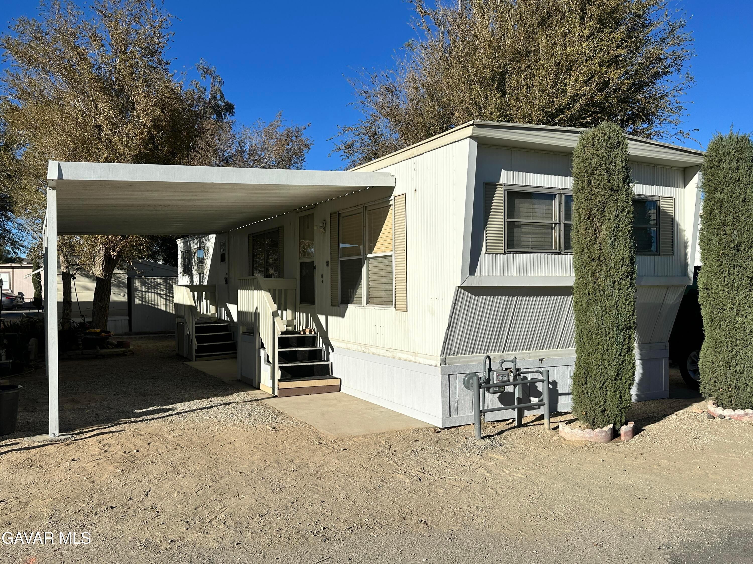
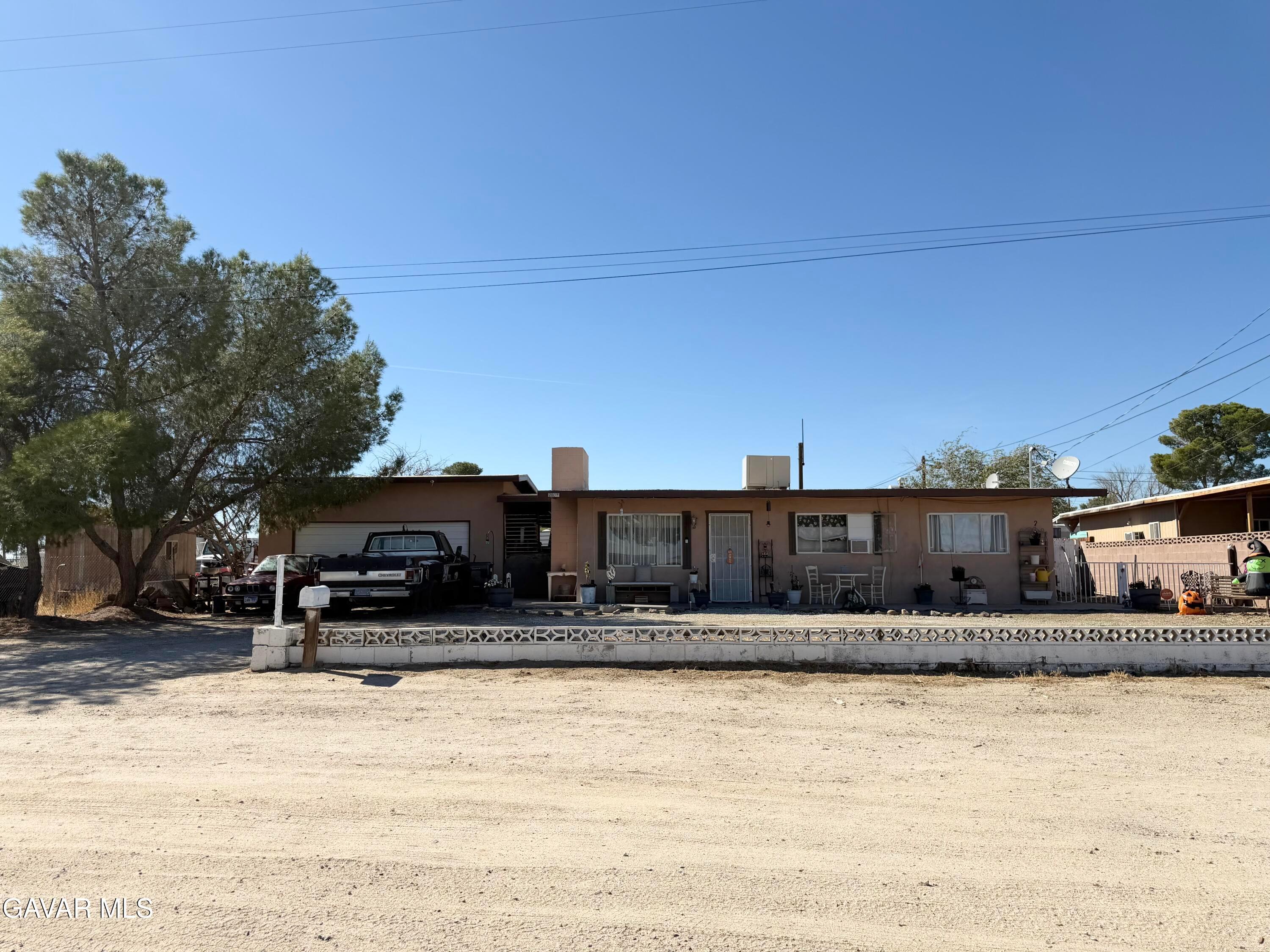
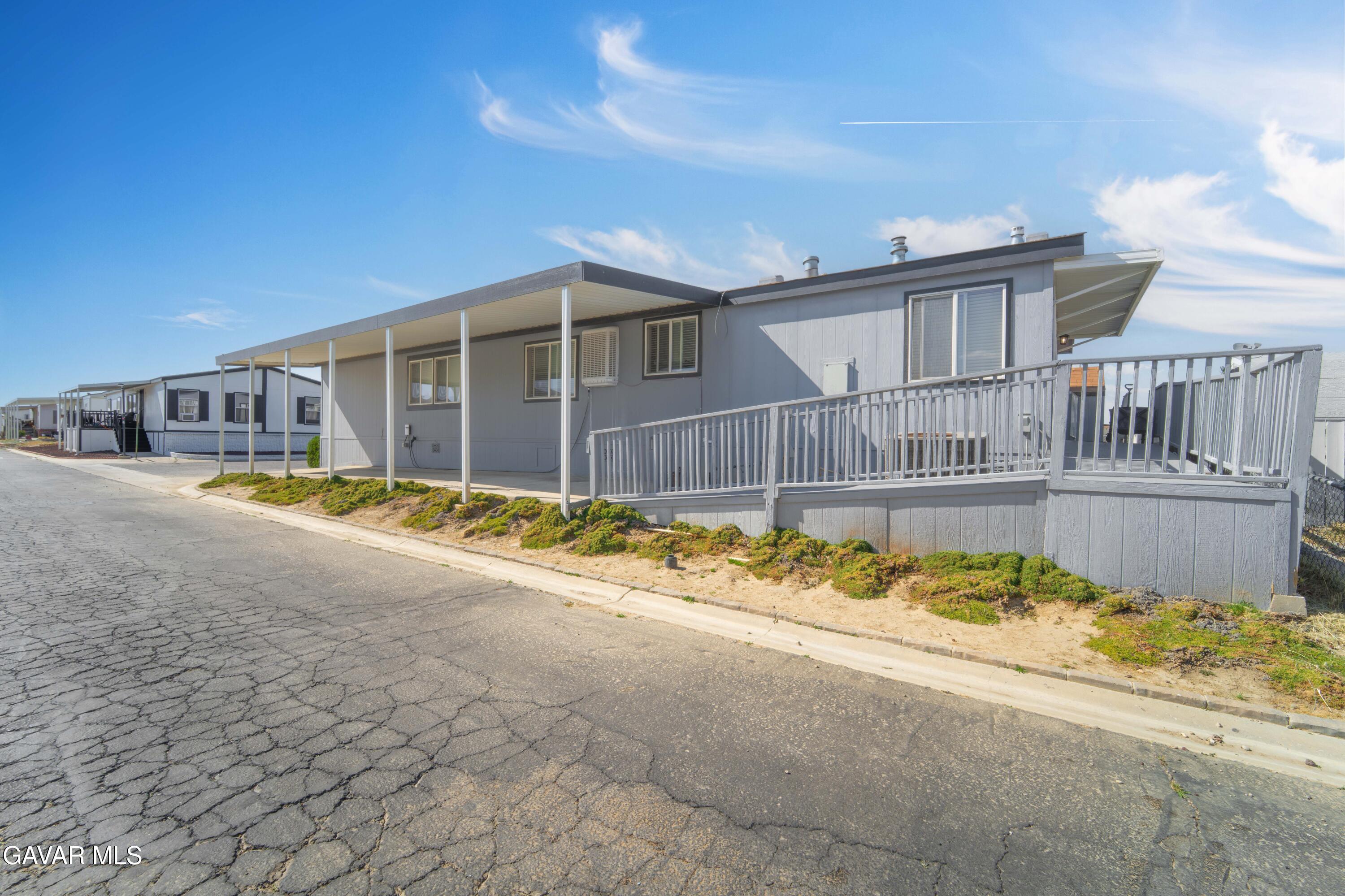
U.S. Census Bureau survey estimates show that about two-thirds of Rosamond's homes are detached single-family houses and roughly one in five are manufactured homes. Most of the housing was built from 1980 onward, and the 1990s were the busiest building decade.
Beyond the core neighborhoods, Kern County's Rosamond Specific Plan includes rural residential designations of one home per 2.5, 5 or 20 gross acres. Under the plan, residential land outside the community services district's service area may use private domestic wells, and sewage there is handled by private septic systems. At Rosamond Skypark, a fly-in residential subdivision first approved in 1984, homes sit next to aircraft hangars along the airpark's runway.
Buyers should know about military flight activity. The Specific Plan places the southern part of Rosamond under a low-level, high-speed military flight corridor about four miles wide, centered roughly on Avenue A, and new land divisions there must carry a notice that the property is within the Edwards Flight Test Corridor and may be subject to aircraft noise. Visiting a property at different times of day is a good way to judge noise for yourself.
Things to do
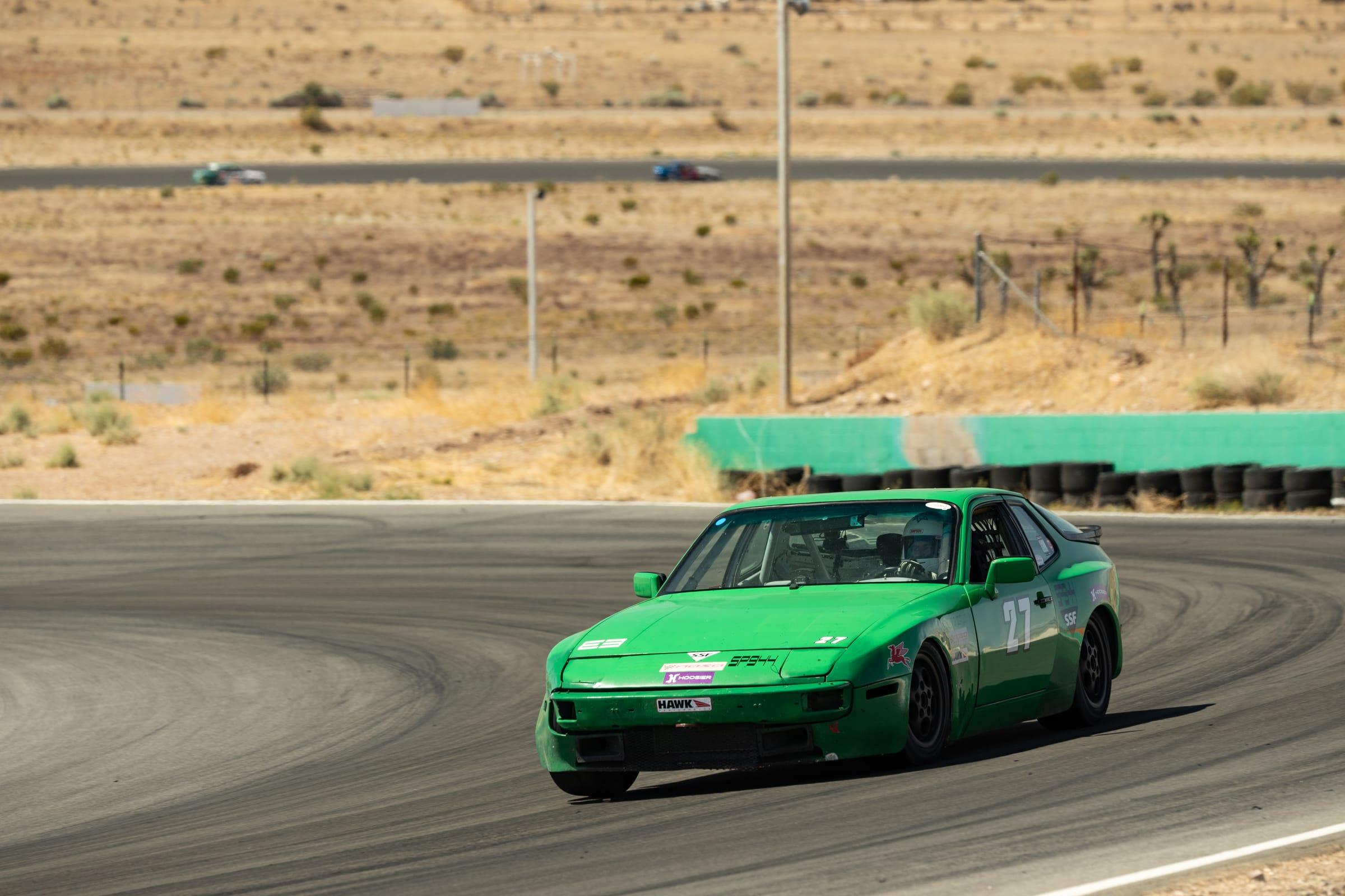
Motorsports have a long history here. Willow Springs International Raceway, west of central Rosamond on 75th Street West, has hosted racing since 1953 and runs several road courses and a karting circuit for track days and events.
Rosamond's mining past is visible on Tropico Hill west of town, where gold was found in the 1890s and mined into the mid-20th century. The mine property is privately owned and is not run as a public attraction.
The surrounding desert is also flight-test country. Rosamond Dry Lake, a lakebed of about 22 square miles inside Edwards Air Force Base, is used for flight testing, research and emergency landings, and the Mojave Air and Space Port to the north is an active aerospace center. The lakebed is on a restricted military base and is not open for visits.
Getting around
State Route 14 runs north-south through Rosamond and is the main route south to Lancaster, Palmdale, Santa Clarita and Los Angeles and north to Mojave. Rosamond Boulevard is the town's main east-west street and leads east to Edwards Air Force Base's West Gate. The drive times listed below are typical off-peak estimates; traffic varies, especially on SR-14 during weekday rush hours.
Census Bureau survey estimates put the mean travel time to work for Rosamond residents at 31.3 minutes. The nearest Metrolink commuter rail service is in Lancaster, on the Antelope Valley Line to Santa Clarita and Los Angeles Union Station.
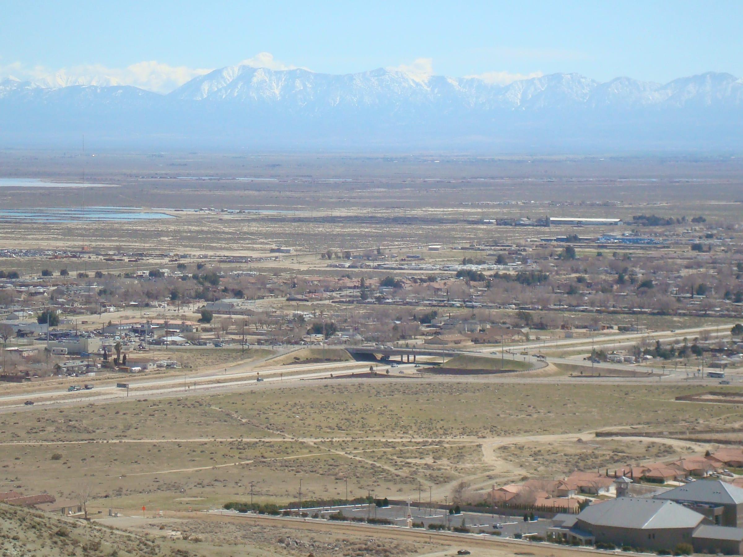
Photo: Rosamond from a nearby hill by SkiDragon, CC BY-SA 3.0
Places people love
Willow Springs International Raceway
Racing has run here since 1953. The facility on 75th Street West includes the original 2.5-mile Big Willow road course, the Streets of Willow and Horse Thief Mile courses and a karting circuit, and it hosts track days and racing events.
Tropico Gold Mine
Gold was discovered on Tropico Hill, west of town, in the 1890s, and the mine produced into the mid-20th century. The property is privately owned and is not operated as a public attraction.
Rosamond Skypark
A privately owned residential airpark just west of town where homes sit beside hangars along a 3,600-foot runway. The airport, FAA identifier L00, is open for public use.
Rosamond Dry Lake
A lakebed of about 22 square miles inside Edwards Air Force Base, used for flight testing, research and emergency landings. It is part of the base and not open to the public.
Edwards Air Force Base
The Air Force flight-test base lies east of town, and its growth during and after World War II drove much of Rosamond's development. Rosamond Boulevard leads to the base's West Gate.
Mojave Air and Space Port (nearby)
About 15 miles north on SR-14 in Mojave, this public-use airport is a center for aerospace testing and development.
School districts
Southern Kern Unified School District
K–12 district headquartered at 2601 Rosamond Blvd. Confirm school assignment by address with the district.
Attendance boundaries vary by address; confirm with the district before you buy.
Drive times
| Destination | Distance | Typical time |
|---|---|---|
| Downtown Los Angeles | About 80 miles | 80–100 min (typical off-peak; traffic varies) |
| Santa Clarita | About 55 miles | 55–70 min (typical off-peak; traffic varies) |
| Lancaster | About 12 miles | 15–20 min (typical off-peak; traffic varies) |
| Edwards Air Force Base (main base) | About 18 miles | 25–35 min (typical off-peak; traffic varies) |
Typical off-peak times; traffic varies.