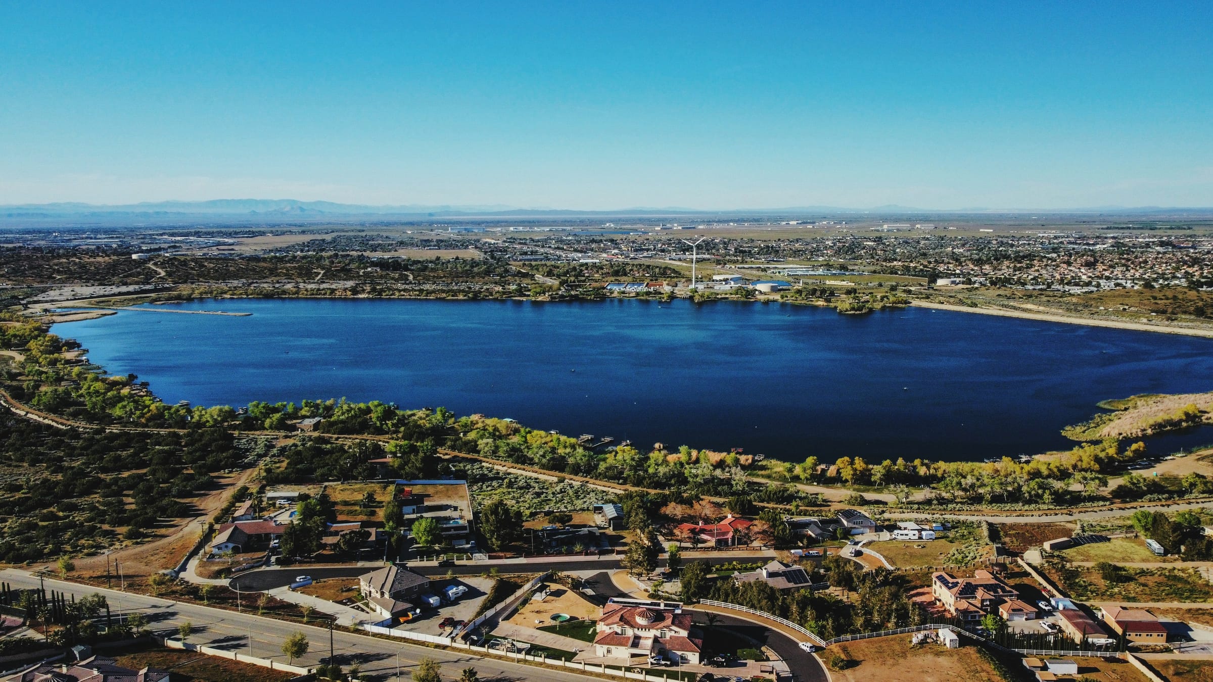
Palmdale is a city of about 169,000 people (2020 Census) in northern Los Angeles County, roughly 60 miles north of Downtown Los Angeles by way of the Antelope Valley Freeway (SR-14). It sits where the Mojave Desert floor meets the foothills of the San Gabriel Mountains, and it is home to U.S. Air Force Plant 42, where aerospace companies including Lockheed Martin and Northrop Grumman work on military aircraft. Most homes are single-family houses, and a Metrolink station links the city to Santa Clarita and Los Angeles.
The Palmdale market / right now
- Homes for sale
- 463
- Median list price
- $529K
- Median sale price, 90 days
- $495K
- Median days on market
- 31
From MLS data as of Nov 16, 2026; 301 closed sales in the last 90 days. Numbers update every 15 minutes.
What would a home here cost each month? Try the mortgage calculator
Living in Palmdale
Palmdale spreads across the southern edge of the Antelope Valley, where the flat high desert runs into the foothills of the San Gabriel Mountains and the Sierra Pelona. The 2020 Census counted 169,450 residents on about 106 square miles of land, so the city spreads out rather than up, with wide arterial streets, shopping centers and neighborhoods that reach from the foothills out into open desert.
The climate is dry and sunny with real seasons. The City of Palmdale lists about 8 inches of rain in an average year, typical July temperatures around 98 degrees and January temperatures around 56 degrees, and a prevailing southwest wind averaging 7 to 10 miles per hour. City Hall sits at roughly 2,600 feet, so winter nights are noticeably colder than in the Los Angeles basin.
Aerospace has shaped Palmdale since the 1950s. U.S. Air Force Plant 42, northeast of the city center, hosts aircraft programs run by companies including Lockheed Martin, Northrop Grumman and Boeing, and the city's aircraft parks on Avenue P put that history on public display. Many residents also commute south to Santa Clarita, the San Fernando Valley and Los Angeles.
Neighborhoods and housing
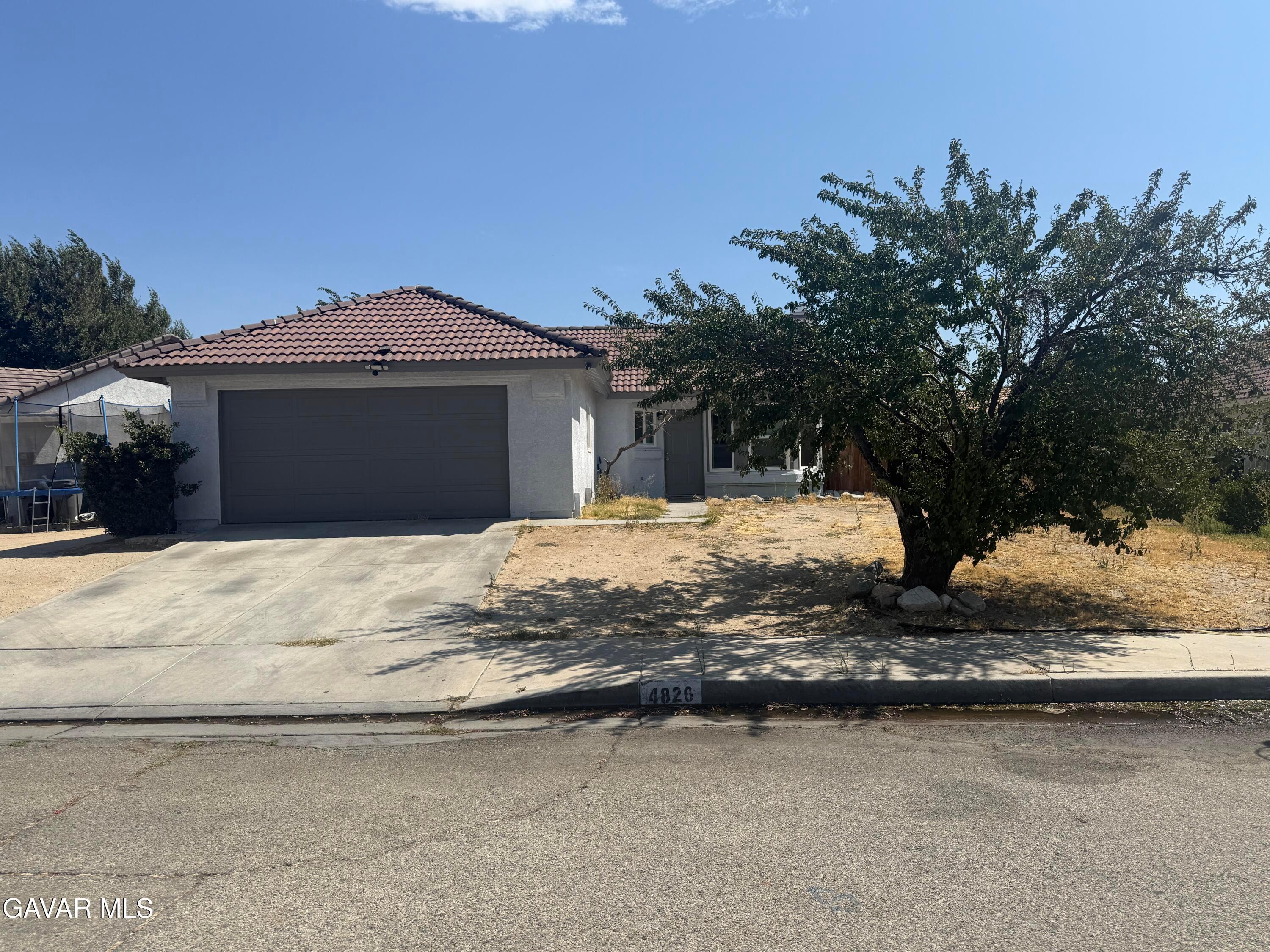
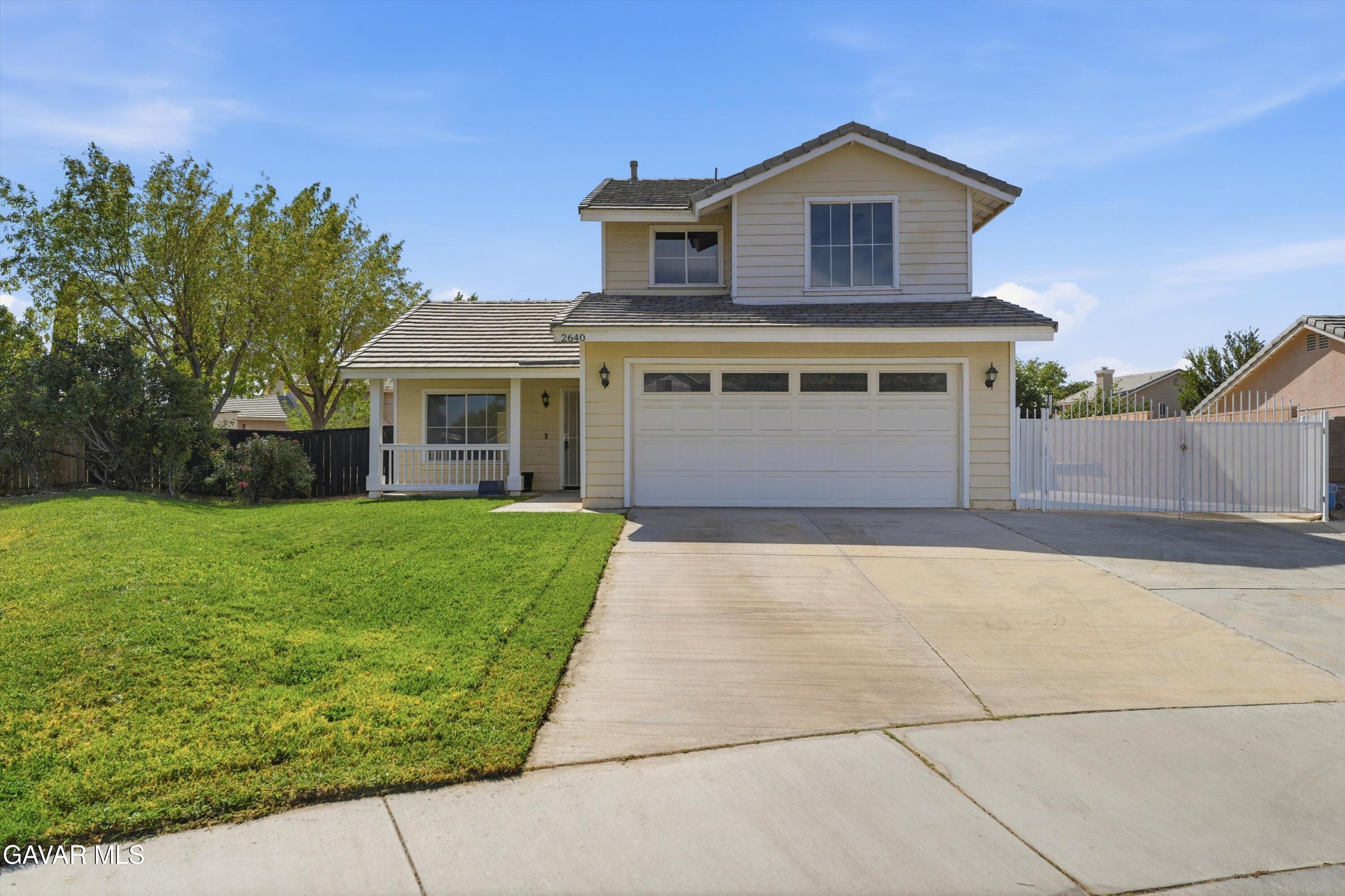
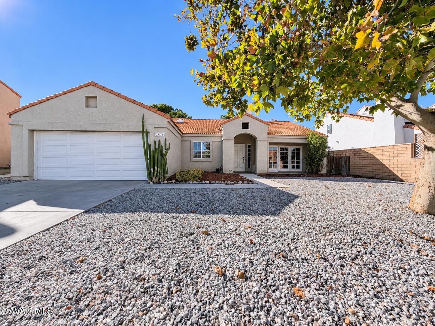
Most of Palmdale's housing is single-family. Census estimates for 2020–2024 put detached single-family homes at about 78.5% of the city's housing units, and roughly three in four homes were built between 1980 and 2009, the decades when the city grew from a small town into one of Los Angeles County's larger cities. Townhomes, apartments and some mobile home communities fill out the rest.
West Palmdale, around Rancho Vista Boulevard and toward the foothills, is largely tract-home subdivisions, along with the regional mall, Marie Kerr Park and the Palmdale Amphitheater. In the foothills on the city's southwest side, Anaverde is a master-planned community with its own city park and a Westside Union elementary school. Palmdale's original town center, around Palmdale Boulevard and Sierra Highway near City Hall, holds much of the city's older housing, while east Palmdale's subdivisions extend toward Littlerock and Lake Los Angeles until development gives way to open desert.
A Palmdale mailing address does not always mean city limits. Los Angeles County's ZIP code listing shows Palmdale ZIP codes also covering unincorporated communities such as Leona Valley, Desert View Highlands and Lake Los Angeles, which are governed by the county rather than the city. When you compare homes, check the exact jurisdiction and the assigned school district for each address.
Things to do
Aviation is the local signature. Joe Davies Heritage Airpark, run by the City of Palmdale on Avenue P at Air Force Plant 42, displays retired military aircraft tied to the plant's history, and next door Blackbird Airpark, an annex of the Air Force Flight Test Museum, shows an SR-71A Blackbird and related aircraft.
For events and recreation, the Palmdale Amphitheater at Marie Kerr Park hosts a summer concert series, outdoor movie nights and festivals. DryTown Water Park, operated by the city on East Avenue S, opens for the summer season, and Pelona Vista Park offers 73 acres with lighted soccer fields, walking paths and a National Fitness Court, with trails climbing into the hills beside it.
Open country is close. Vasquez Rocks Natural Area is about 20 miles south off Highway 14, Devil's Punchbowl Natural Area is about 20 miles southeast, and the Antelope Valley California Poppy Reserve is about a 25-mile drive northwest for the spring wildflower bloom. Angeles National Forest rises directly south of the city.
Getting around
The Antelope Valley Freeway (SR-14) is Palmdale's main link to the rest of Southern California. It runs south through Santa Clarita to Interstate 5, and from central Palmdale it is about 61 miles by road to Downtown Los Angeles, typically 60 to 80 minutes off-peak. Rush-hour trips often take much longer, and Census estimates put the average one-way commute for Palmdale workers at 39.9 minutes.
Metrolink's Antelope Valley Line stops at the Palmdale station at 39000 Clock Tower Plaza Drive, near Sierra Highway and 6th Street. On the published weekday timetable, trains take about an hour to reach Santa Clarita and about two hours to L.A. Union Station, with stops in Burbank and Glendale along the way. Parking at the station is free for Metrolink riders.
Antelope Valley Transit Authority (AVTA) local and commuter bus routes connect at the Palmdale station. Lancaster is about 10 miles north on SR-14, and Air Force Plant 42 is roughly 5 miles from City Hall.
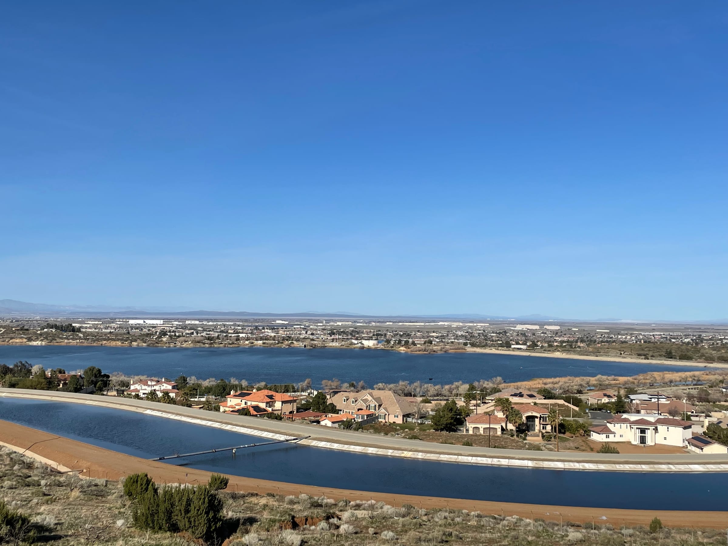
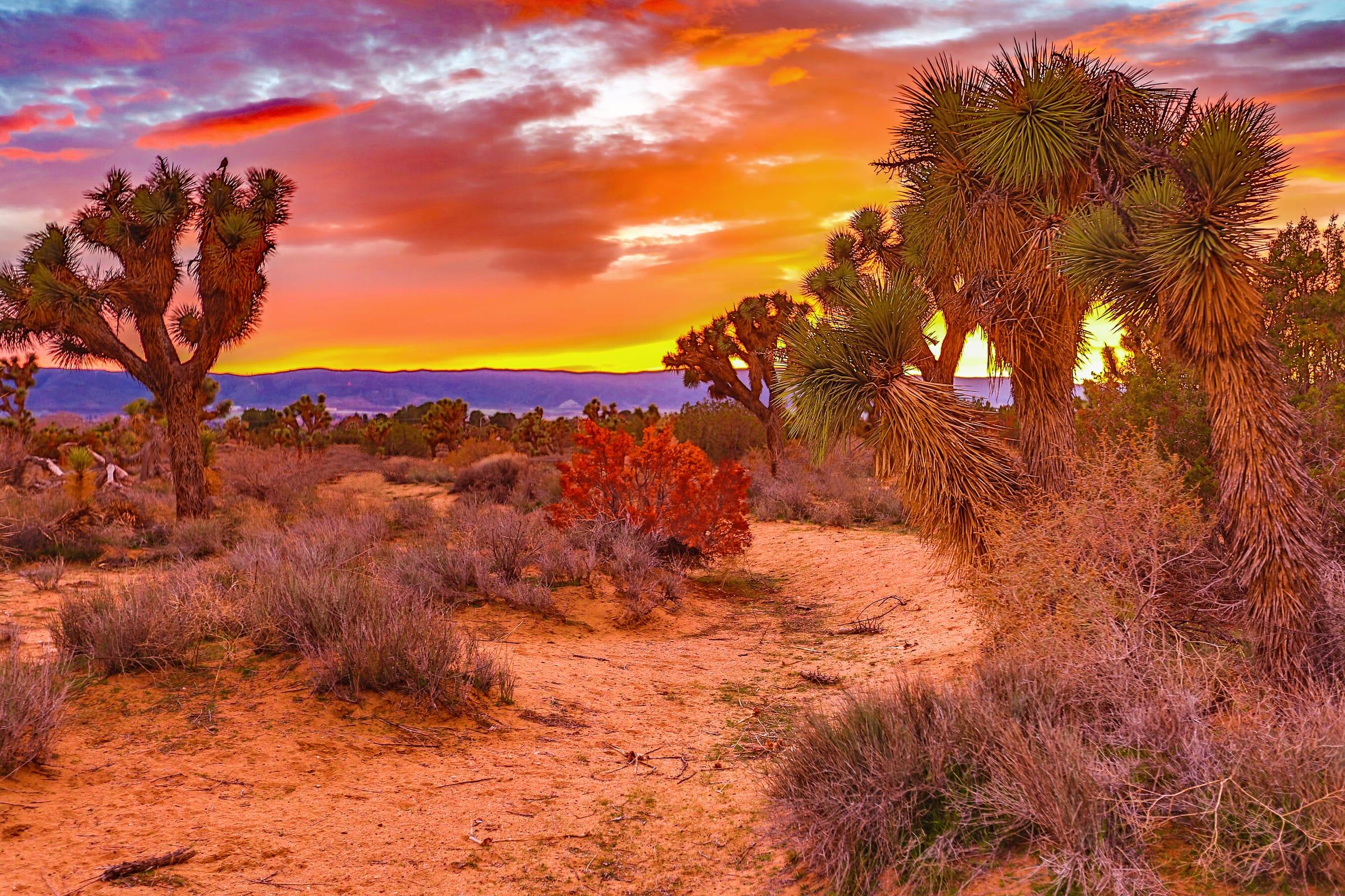
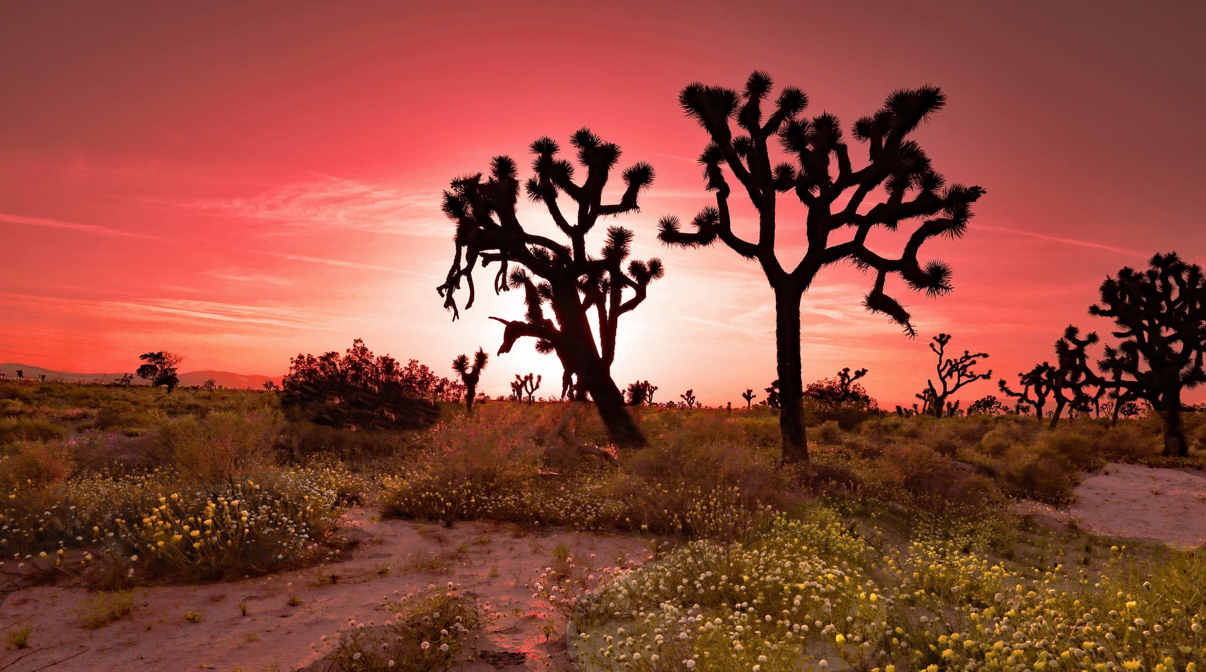
Photo: Joshua trees at golden hour, Antelope Valley by Rennett Stowe, CC BY 2.0
Places people love
Joe Davies Heritage Airpark
A city-run outdoor aircraft museum on Avenue P at Air Force Plant 42. Its retired military aircraft present the aerospace heritage of the plant and the Antelope Valley.
Blackbird Airpark
An annex of the Air Force Flight Test Museum next to Joe Davies Heritage Airpark. Its centerpiece is an SR-71A Blackbird reconnaissance aircraft.
Palmdale Amphitheater at Marie Kerr Park
An open-air venue on Rancho Vista Boulevard in west Palmdale that hosts concerts, movie nights and festivals, including a summer concert series.
DryTown Water Park
A seasonal water park operated by the City of Palmdale on East Avenue S, with water slides, cabana rentals and a snack grill. It opens for the summer months.
Pelona Vista Park
A 73-acre city park on Tierra Subida Avenue with 10 lighted soccer fields, walking and jogging paths and a National Fitness Court. Unpaved trails lead into the hills next to the park.
Lake Palmdale
The reservoir at the city's southern edge is the Palmdale Water District's primary water source. It is not a public park; fishing access is through a private membership club that leases the lake.
School districts
Palmdale School District
TK–8 schools in Palmdale
Westside Union School District
TK–8; serves west Palmdale and Anaverde
Keppel Union School District
Elementary and middle grades; serves east Palmdale and nearby communities
Wilsona School District
Serves unincorporated areas with Palmdale addresses, including Lake Los Angeles
Antelope Valley Union High School District
High schools for Palmdale and Lancaster
Attendance boundaries vary by address; confirm with the district before you buy.
Drive times
| Destination | Distance | Typical time |
|---|---|---|
| Downtown Los Angeles | About 61 miles | 60–80 min (typical off-peak; traffic varies) |
| Santa Clarita | About 35 miles | 35–50 min (typical off-peak; traffic varies) |
| U.S. Air Force Plant 42 | About 5 miles | 10–15 min (typical; traffic varies) |
| L.A. Union Station by Metrolink | Antelope Valley Line from Palmdale station | About 2 hours (per the published timetable) |
Typical off-peak times; traffic varies.