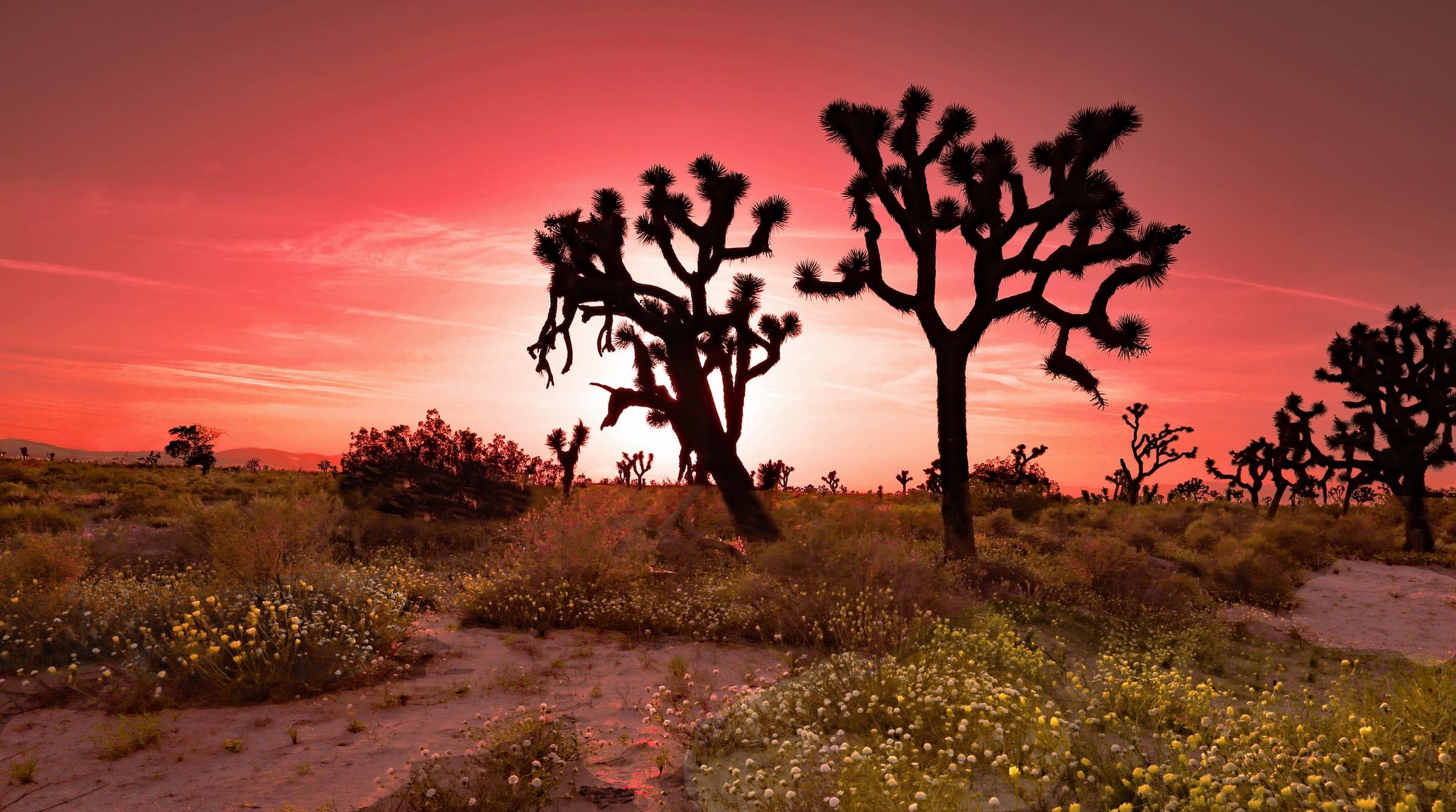
Lancaster is a city of about 173,500 people (2020 Census) in northern Los Angeles County, about 70 miles north of Downtown Los Angeles at the north end of the Metrolink Antelope Valley Line. It was the Antelope Valley's most populous city at the 2020 Census, with a walkable downtown on Lancaster Boulevard known as The BLVD, a long connection to flight testing at nearby Edwards Air Force Base, and the Antelope Valley California Poppy Reserve about 15 miles to the west.
The Lancaster market / right now
- Homes for sale
- 584
- Median list price
- $450K
- Median sale price, 90 days
- $450K
- Median days on market
- 31
From MLS data as of Nov 16, 2026; 350 closed sales in the last 90 days. Numbers update every 15 minutes.
What would a home here cost each month? Try the mortgage calculator
Living in Lancaster
Lancaster covers about 94 square miles of the western Mojave Desert in the center of the Antelope Valley, at an elevation of roughly 2,350 feet. The 2020 Census counted 173,516 residents, up from about 37,000 when the city incorporated in 1977. Streets follow a mile grid that makes the city easy to navigate: lettered avenues such as Avenue H and Avenue J run east–west, and numbered streets run north–south, labeled East or West.
Flight testing is part of the city's identity. Edwards Air Force Base, home of the Air Force Test Center, the Air Force Test Pilot School and NASA's Armstrong Flight Research Center, lies about 22 miles northeast of Lancaster. From 1990 to 2009 the city's Aerospace Walk of Honor inducted 100 test pilots, whose granite monuments now line West Lancaster Boulevard.
Daily life centers on a few hubs: The BLVD downtown, with local restaurants, the Lancaster Performing Arts Center and the Lancaster Museum of Art and History; shopping corridors along the main avenues; and the AV Fair & Event Center on West Avenue H, which hosts the annual Antelope Valley Fair.
Neighborhoods and housing
Detached single-family homes make up about 70% of Lancaster's housing units, according to Census estimates for 2020–2024, with apartments, townhomes and mobile home communities making up the rest. About 60% of homes were built between 1980 and 2009, and about a third predate 1980, so the housing stock ranges from mid-century homes to newer subdivisions.
Lancaster grew outward from its railroad-era downtown, so its oldest neighborhoods are near The BLVD, the civic center and the Metrolink station. West Lancaster is served for K–8 by the Westside Union School District and east Lancaster by the Eastside Union School District, and at the city's edges neighborhoods give way to open desert.
Several communities with Lancaster ZIP codes are unincorporated Los Angeles County rather than part of the city. Quartz Hill and Del Sur share ZIP code 93536 on the southwest side, and Hi Vista shares 93535 to the east. Check the exact jurisdiction and school assignment for any address you are considering.
Things to do
The BLVD, the redesigned stretch of Lancaster Boulevard downtown, has locally owned restaurants, shops and galleries within walking distance of the Lancaster Performing Arts Center, which presented more than 35 performances in its 2025–2026 season. The Lancaster Museum of Art and History (MOAH) on the same street has changing exhibitions and does not charge admission.
Two local oddities draw visitors from across Southern California. The Musical Road on Avenue G between 30th and 40th Streets West has grooves cut into the pavement that play a version of Rossini's William Tell Overture as cars drive over them, and the Aerospace Walk of Honor monuments along West Lancaster Boulevard tell the stories of the test pilots who flew at Edwards.
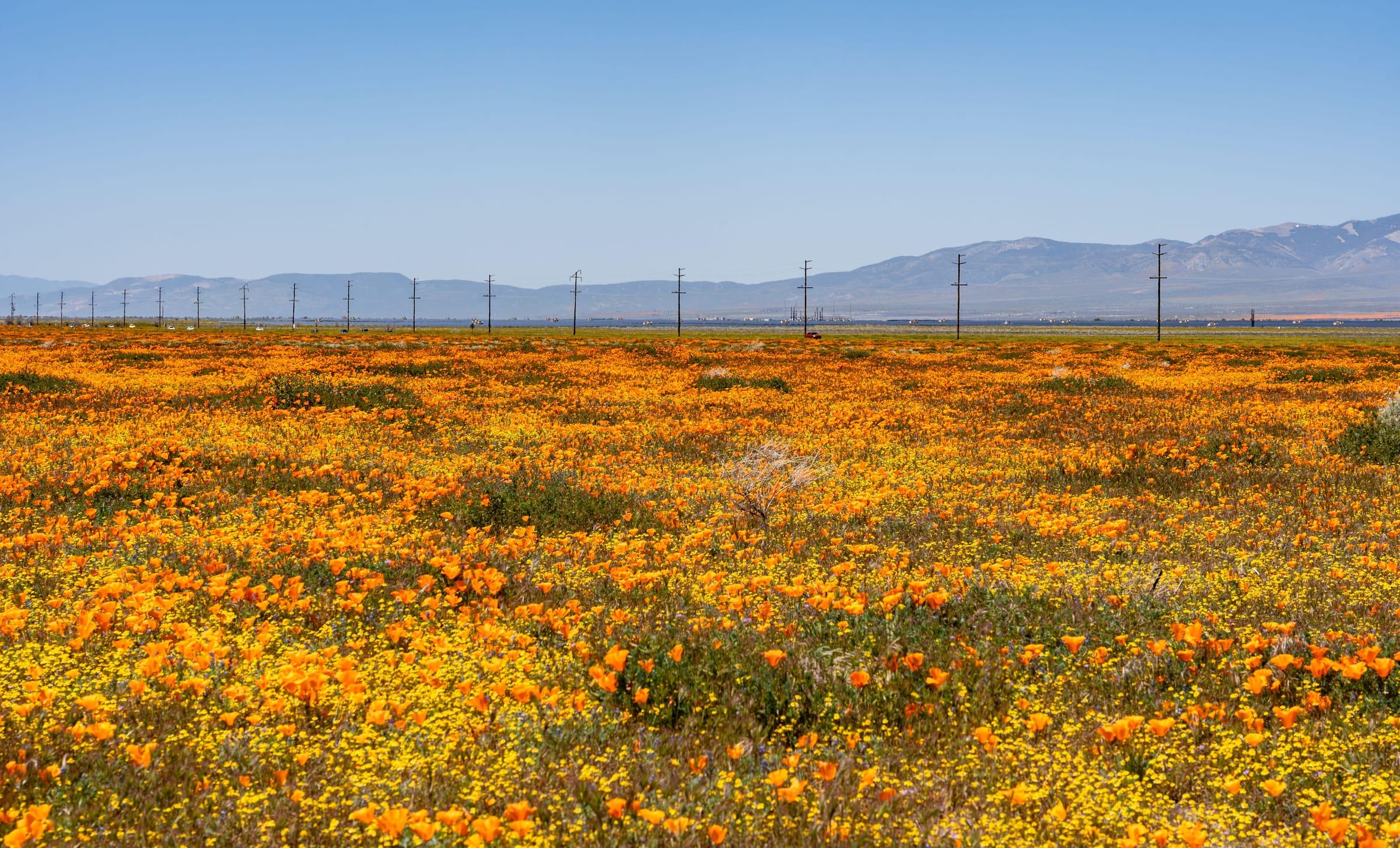
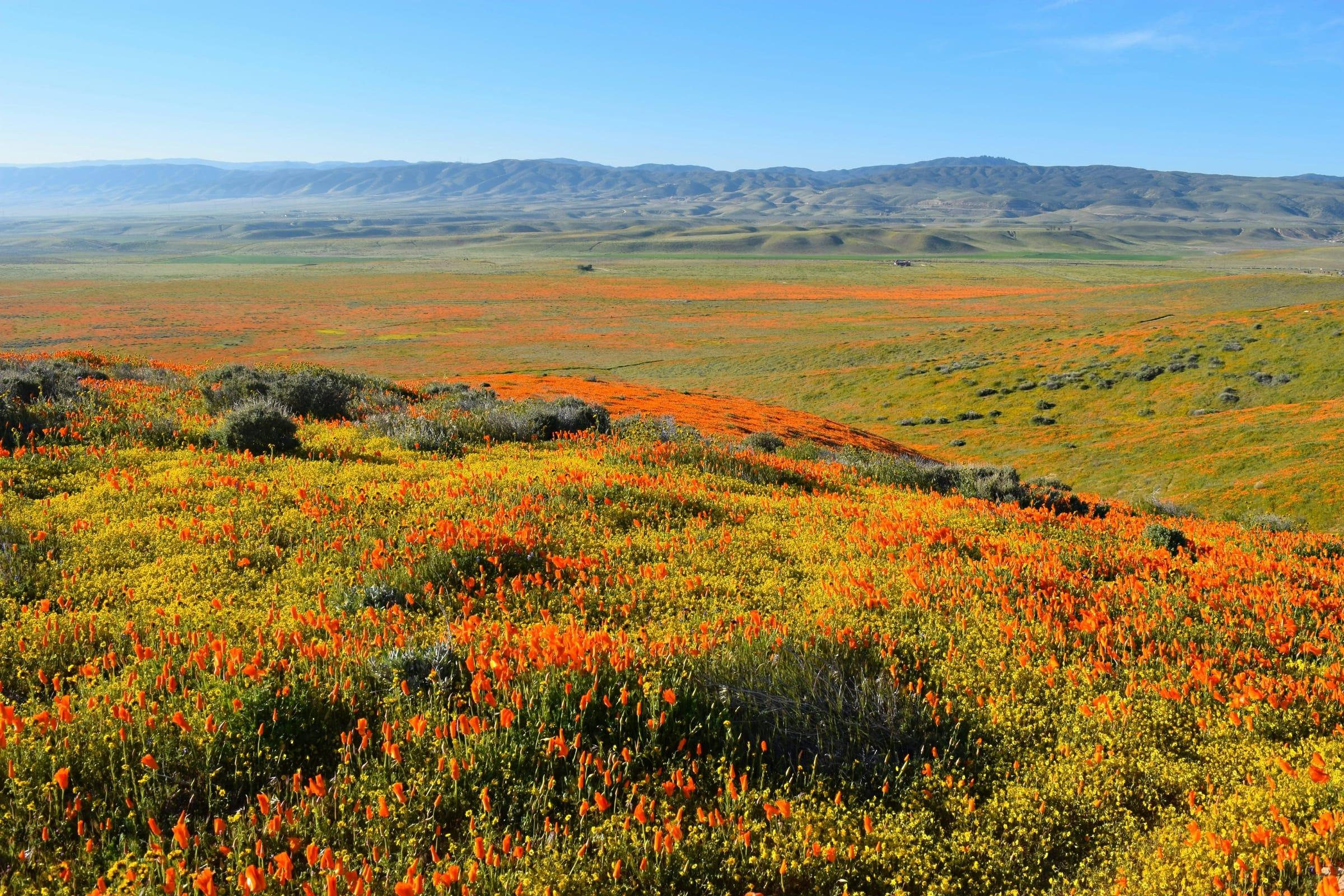
For the outdoors, Prime Desert Woodland Preserve on 35th Street West has more than 120 acres and over three miles of mostly flat walking trails, plus an interpretive center with weekend hours. About 15 miles west of Highway 14, the Antelope Valley California Poppy Reserve fills with California poppies and other wildflowers in a good spring, usually from mid-March through April.
Getting around
The Antelope Valley Freeway (SR-14) connects Lancaster with Palmdale, about 10 miles south, and continues through Santa Clarita to Interstate 5. Downtown Los Angeles is about 70 miles by road, typically 70 to 90 minutes off-peak, and considerably longer at rush hour. Census estimates put the average one-way commute for Lancaster workers at 30.8 minutes.
Lancaster is the northern terminus of Metrolink's Antelope Valley Line. The station at 44812 North Sierra Highway, next to downtown, has free parking for Metrolink riders, and the published weekday timetable shows about 2 hours and 10 minutes to L.A. Union Station, with stops in Palmdale, Santa Clarita, Burbank and Glendale.
Antelope Valley Transit Authority runs local buses across the city, and the Lancaster station also connects with regional services including Santa Clarita Transit, Kern Transit, Eastern Sierra Transit and Amtrak Thruway buses. For Edwards Air Force Base, the main base is about 32 miles by road, typically reached via Highway 14 north and Rosamond Boulevard east.
Places people love
The BLVD
Lancaster's historic downtown on Lancaster Boulevard, redesigned as a pedestrian-friendly street with locally owned restaurants, shops, galleries and entertainment.
Lancaster Performing Arts Center
The city's performing arts venue at 750 West Lancaster Boulevard, presenting a yearly season of concerts, comedy and family shows.
Lancaster Museum of Art and History (MOAH)
A museum on The BLVD with rotating art and regional history exhibitions. Admission is free, and the museum also runs the interpretive center at Prime Desert Woodland Preserve.
Aerospace Walk of Honor
Granite monuments along West Lancaster Boulevard honoring 100 test pilots inducted between 1990 and 2009, many of whom flew experimental aircraft at Edwards Air Force Base.
The Musical Road
A stretch of Avenue G between 30th and 40th Streets West where grooves in the pavement play a version of Rossini's William Tell Overture as cars drive over them. It was built in 2008.
Prime Desert Woodland Preserve
A city nature preserve at 43201 35th Street West with more than 120 acres and over three miles of trails through Mojave Desert habitat. The preserve is open daily from sunrise to sunset.
Antelope Valley California Poppy Reserve
A California State Parks reserve about 15 miles west of Highway 14, on land State Parks describes as California's most consistent poppy-bearing ground. Peak bloom usually falls between mid-March and April and varies with winter rain.
School districts
Lancaster School District
Elementary and middle schools
Westside Union School District
TK–8; serves west Lancaster and Quartz Hill
Eastside Union School District
Elementary and middle grades; serves east Lancaster
Antelope Valley Union High School District
High schools for Lancaster and Palmdale
Attendance boundaries vary by address; confirm with the district before you buy.
Drive times
| Destination | Distance | Typical time |
|---|---|---|
| Downtown Los Angeles | About 70 miles | 70–90 min (typical off-peak; traffic varies) |
| Santa Clarita | About 44 miles | 45–60 min (typical off-peak; traffic varies) |
| Edwards Air Force Base (main base) | About 32 miles | 35–50 min (typical; traffic varies) |
| Palmdale | About 10 miles | 15–20 min (typical; traffic varies) |
| L.A. Union Station by Metrolink | Antelope Valley Line from Lancaster station | About 2 hr 10 min (per the published timetable) |
Typical off-peak times; traffic varies.