
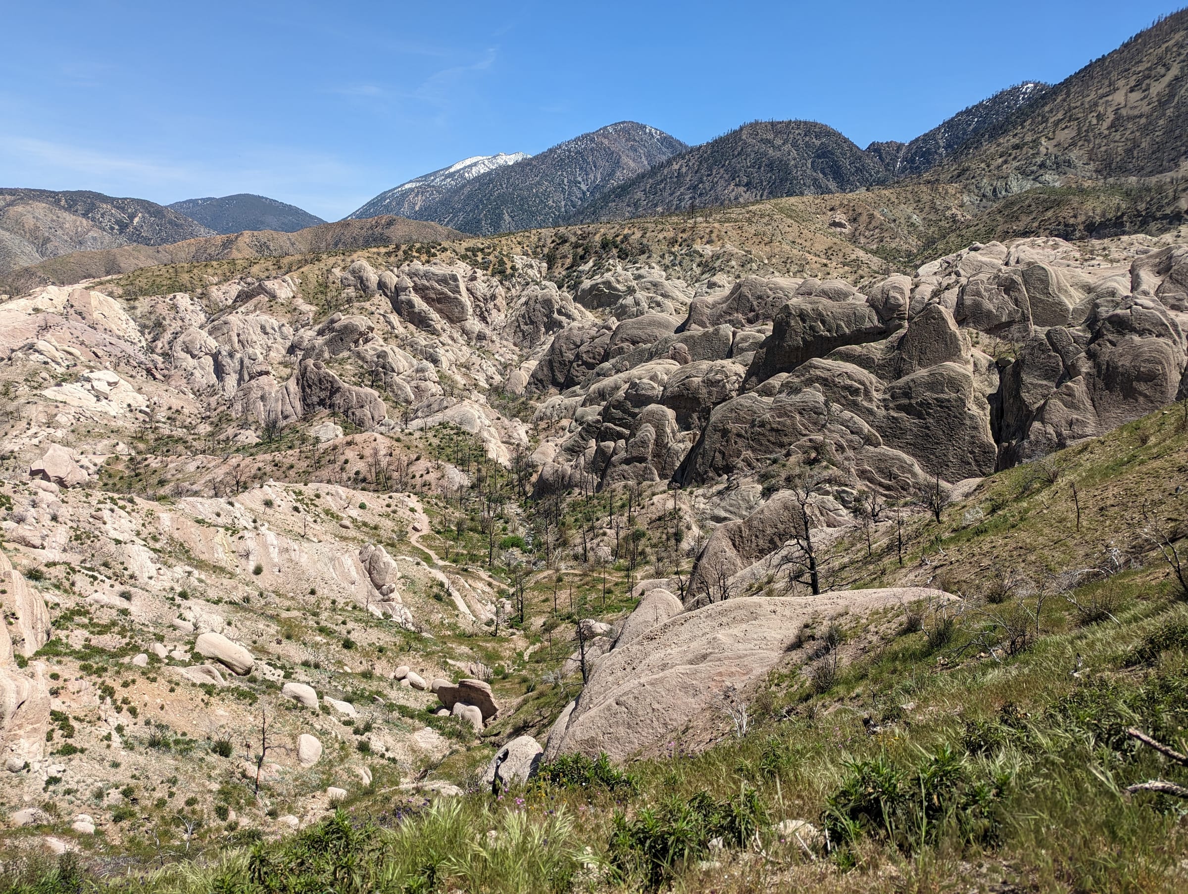
Littlerock is a small unincorporated community in Los Angeles County's southeast Antelope Valley, about 10 miles southeast of Palmdale on Pearblossom Highway (State Route 138) and roughly 65 miles by road from downtown Los Angeles. Life there is rural and low-density, with the San Gabriel Mountains foothills to the south and a long orchard history that still shows up each summer in roadside fruit stands and u-pick farms.
The Littlerock market / right now
- Homes for sale
- 38
- Median list price
- $540K
- Median sale price, 90 days
- $450K
- Median days on market
- 20
From MLS data as of Nov 16, 2026; 25 closed sales in the last 90 days. Numbers update every 15 minutes.
What would a home here cost each month? Try the mortgage calculator
Living in Littlerock
Littlerock sits in the southeastern Antelope Valley, east of Palmdale, where the valley floor rises toward the foothills of the San Gabriel Mountains. The Census Bureau's Littlerock census-designated place is small, with 1,535 residents on less than 2 square miles in 2020, but Littlerock mailing addresses in ZIP code 93543 reach well beyond those boundaries. LA County plans Littlerock together with neighboring Sun Village as the Southeast Antelope Valley.
Littlerock is unincorporated, so Los Angeles County handles planning and zoning. The county's Antelope Valley Area Plan places the town center along Pearblossom Highway between Little Rock Wash and 90th Street East, with rural commercial and light industrial land that serves residents and travelers on the highway. New buildings there are limited to two stories and are expected to use Old West or Southwestern design.
The area's history is agricultural. The Area Plan traces the Antelope Valley's early communities, Littlerock among them, to the Southern Pacific rail line completed in 1876 and to stock raising, dry farming and fruit orchards. Orchards are still part of the landscape, and each harvest season brings fruit stands back to Pearblossom Highway.
Land and housing
Outside the town center, land use is rural. The Antelope Valley Area Plan designates the area around the town center mostly for one home per 5 gross acres, with a denser residential pocket north of Pearblossom Highway, and nearby rural town areas at one home per 1 or 2 gross acres. The rest of the Southeast Antelope Valley is rural preserve at one home per 10 or 20 gross acres, and new land divisions must meet the minimum lot sizes of the Southeast Antelope Valley Community Standards District.
The plan supports light agriculture, equestrian and animal-keeping uses in the rural town areas where lots meet Zoning Code requirements, and it keeps heavy agriculture out of those areas. Census Bureau survey estimates show that most homes within the Littlerock census-designated place are detached single-family houses, while the surrounding rural areas include homes on larger parcels.
Much of the undeveloped land around Littlerock is not served by existing infrastructure, and the Area Plan notes flood zones and Significant Ecological Areas, including along Little Rock Wash. Before you buy, confirm a parcel's zoning, flood-zone status, water source and wastewater system.
Things to do
Fruit season is Littlerock's main event. Seasonal fruit stands and u-pick orchards along and near Pearblossom Highway typically start with cherries in late spring and early summer, followed by stone fruit and then apples toward fall. Harvests vary from year to year, so check with a farm before you drive out.
The mountains start just south of town. Littlerock Dam, a multi-arch dam completed in 1924 about 3.5 miles south in the Angeles National Forest, still stores water for the Palmdale Water District and the Littlerock Creek Irrigation District, although its recreation area has been closed by the Forest Service since 2015. Farther southeast, Devil's Punchbowl Natural Area offers 1,310 acres of tilted rock formations, a nature center and canyon trails.
In town, the LA County Library's Littlerock Library on 80th Street East has children's and teen areas, public computers and laptop checkout. Palmdale's shopping, dining and services are about 15 to 20 minutes west.
Getting around
Pearblossom Highway (State Route 138) is Littlerock's main street and its link west to Palmdale and State Route 14, the freeway toward Santa Clarita and Los Angeles. The drive times listed below are typical off-peak estimates; traffic varies, especially on SR-14 during weekday rush hours.
The nearest Metrolink commuter rail service is in Palmdale, on the Antelope Valley Line to Santa Clarita and Los Angeles Union Station.
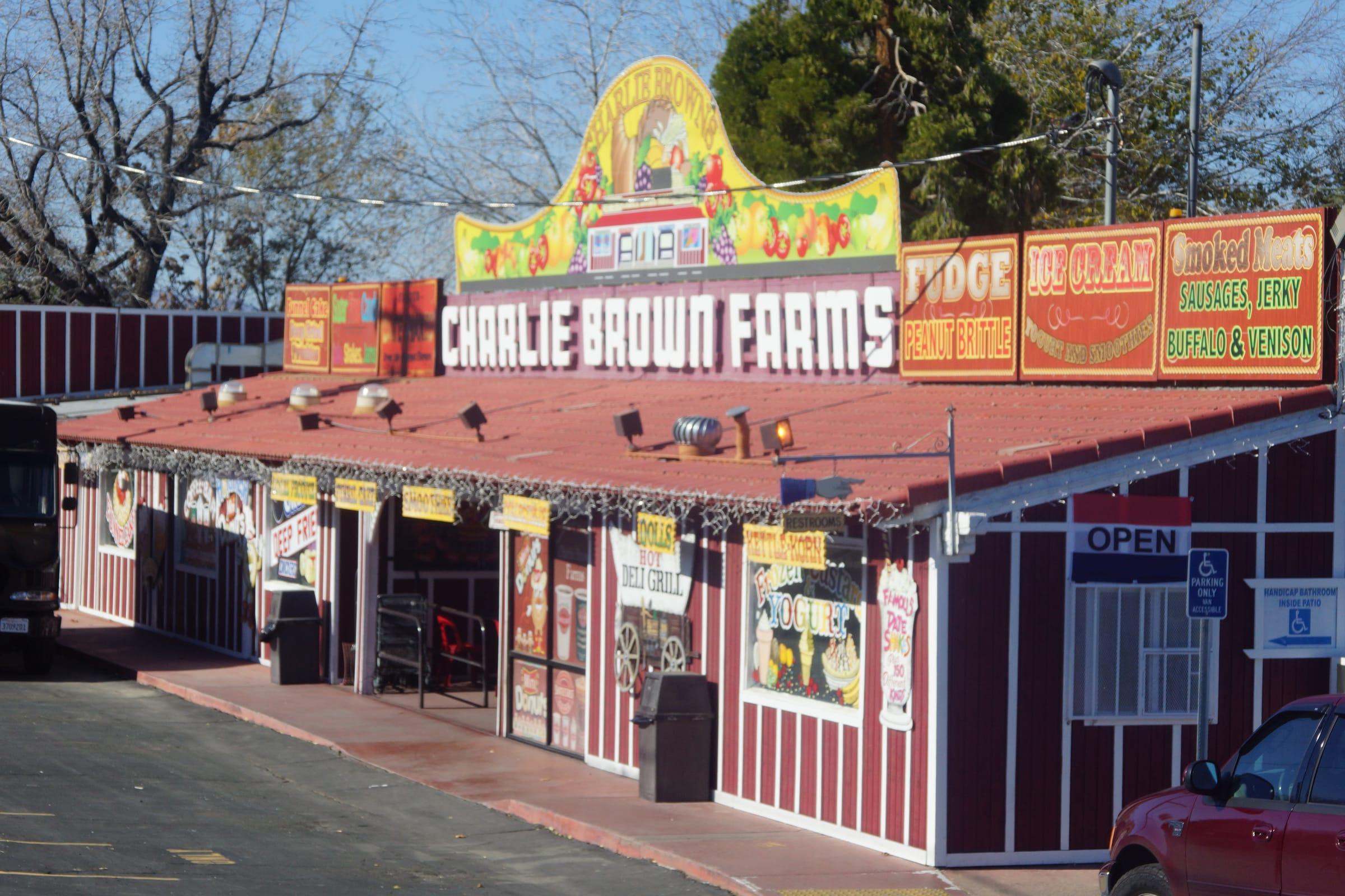
Photo: Fruit stand on Pearblossom Highway, Littlerock by Chris English, CC BY-SA 3.0
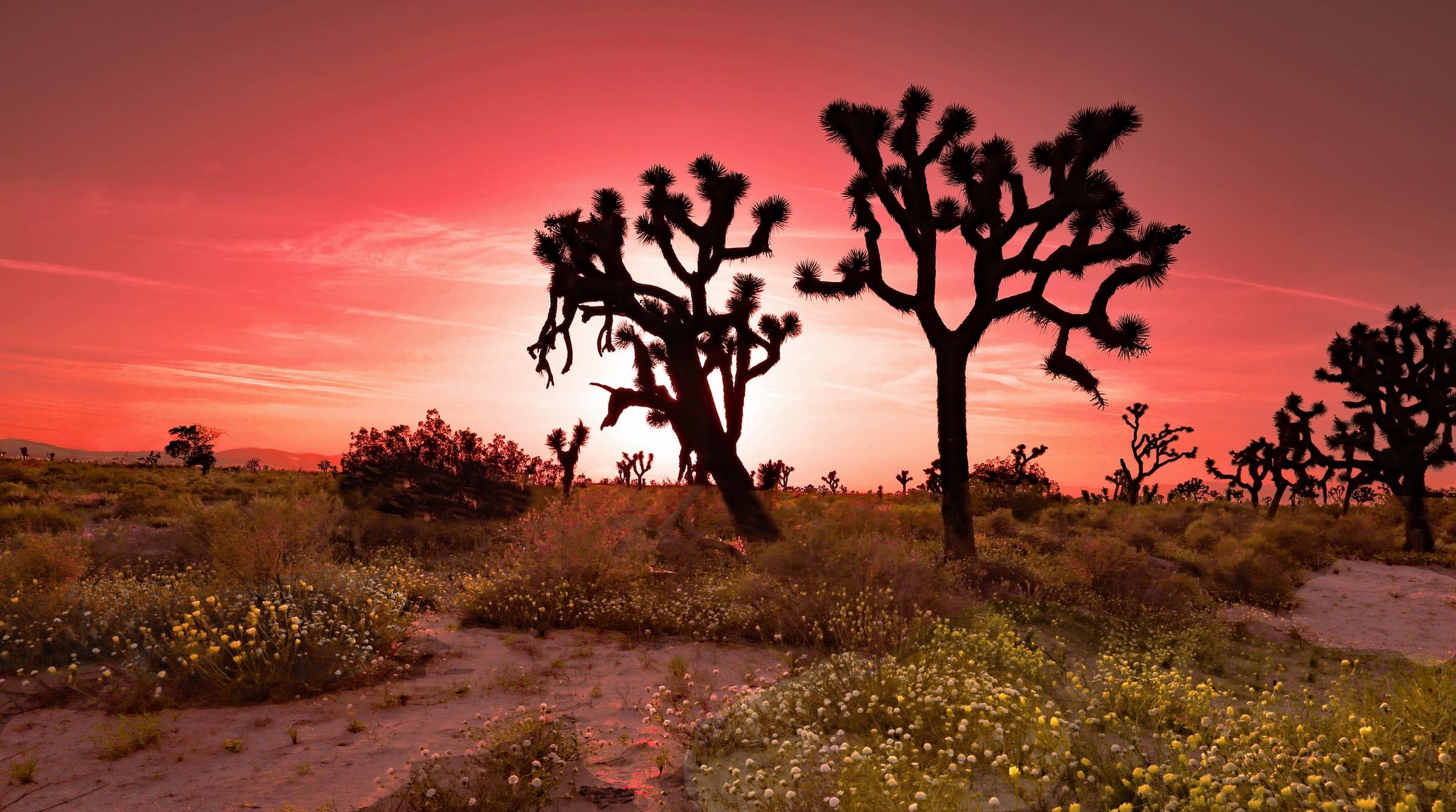
Photo: Sunset on the Mojave Desert, Antelope Valley by Rennett Stowe, CC BY 2.0
Places people love
Pearblossom Highway fruit stands and u-pick orchards
Seasonal stands and u-pick farms in and around Littlerock sell cherries, stone fruit and apples in season, continuing the orchard tradition that helped settle the area. Hours follow the harvest, so check before you go.
Littlerock Dam and Reservoir
About 3.5 miles south of town in the Angeles National Forest, this multi-arch dam was completed in 1924 and stores water for the Palmdale Water District and Littlerock Creek Irrigation District. Its recreation area has been closed to the public by the Forest Service since 2015.
Devil's Punchbowl Natural Area (nearby)
A 1,310-acre LA County park in the foothills southeast of Littlerock, known for steeply tilted rock formations. It has a nature center and a 7.5-mile round-trip trail through a deep canyon.
Little Rock Wash
The wash runs north out of the San Gabriel Mountains past town, and LA County includes it in a Significant Ecological Area. Its flow stays underground much of the year and surfaces after rain and snowmelt.
Littlerock Library
An LA County Library branch at 35119 80th Street East with children's and teen areas, public computers and laptop checkout.
School districts
Keppel Union School District
Elementary district serving grades through 8th; district office on East Avenue U in Littlerock. Confirm school assignment by address.
Antelope Valley Union High School District
High school district for the Antelope Valley; Littlerock High School is on East Avenue R. Confirm school assignment by address.
Attendance boundaries vary by address; confirm with the district before you buy.
Drive times
| Destination | Distance | Typical time |
|---|---|---|
| Downtown Los Angeles | About 65 miles | 70–90 min (typical off-peak; traffic varies) |
| Santa Clarita | About 40 miles | 45–55 min (typical off-peak; traffic varies) |
| Palmdale | About 10 miles | 15–20 min (typical off-peak; traffic varies) |
Typical off-peak times; traffic varies.